City preview · TORONTO

Toronto, where even the shoreline has its own gauge

Stand on Front Street and look south: Lake Ontario once met the street. Toronto pushed the shoreline outward, then cut a new mouth for the Don River through the Port Lands. The TTC still keeps its own measure, with streetcar rails 60 millimetres wider than standard gauge. The CN Tower antenna continues the job that justified the tower: transmitting across the city.

4 web previews 100 stories in the app

CN Tower · Editorial illustration, not a historical photo

From the antenna to the new river mouth

Signals, an old shoreline, streetcar gauge, and a new river mouth

Four complete stories and their public sources are shown here; the rest of the collection is in the app.

01 · CN Tower

The signal came before the view

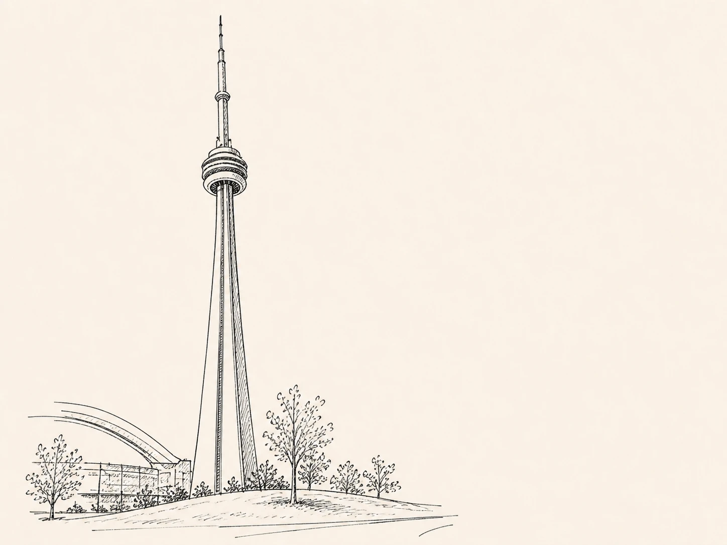
Skyscrapers blocked broadcasts, so an antenna went 553 meters into the air.

As downtown towers multiplied in the 1960s, television and radio signals interfered with one another among the buildings. Canadian National promoted a tall structure that would consolidate transmitters above the city. CN Tower opened in 1976 with a concrete shaft, observation pod, and working antenna. Visitors remember the glass floor and view, but the slender top section explains why the tower was built.

Source: cntower.ca
02 · St. Lawrence Market North

Front Street really was the waterfront

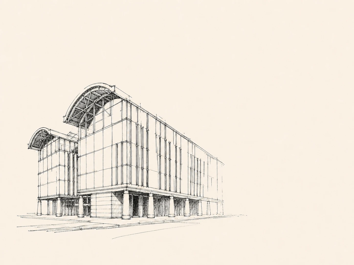
When York was founded in 1793, lake water reached this street.

When York was founded in 1793, the edge of Lake Ontario lay near today's Front Street. Harbor works filled the shallows beyond successive wharves, and railways, warehouses, and new streets advanced south. The St. Lawrence Market area still sits close to that early shoreline. Every block between here and Queens Quay occupies land added later.

Source: waterfrontoronto.ca

03 · TTC Roncesvalles Carhouse

A few extra centimeters with no simple explanation

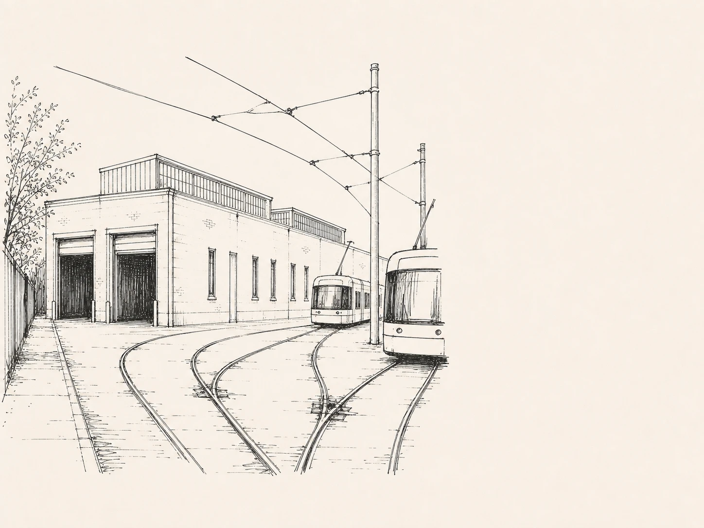
At 4 feet 10 7/8 inches, Toronto's streetcar gauge is its own standard.

Today's TTC streetcars use a local gauge of 4 feet 10 7/8 inches, slightly wider than the North American standard. It grew from early horsecar lines, road rules, and changing streetcar franchise rights; the popular claim that it was designed solely to keep ordinary trains out lacks one decisive source. Track crossings outside Roncesvalles Carhouse spread this local standard across the switches. A few extra centimeters lock vehicles, wheelsets, and maintenance into a Toronto specification.

Source: transittoronto.org Source: spacing.ca

04 · Biidaasige Park

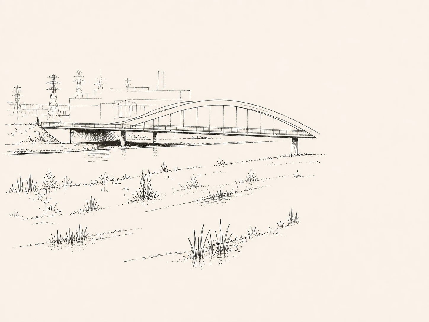
This river mouth was excavated

The winding channel was calculated for flood control, not formed unaided.

Working with Indigenous partners, the Port Lands flood-protection project excavated a new naturalized channel for the Don River. Its bends, wetlands, and park ground at different elevations hold floodwater, while the channel turned former industrial land into new islands. Biidaasige Park lets visitors enter the system. The banks look natural, but every grade, bridge, and outlet was designed anew.

Source: toronto.ca

Continue in the app

Carry all 100 Toronto stories with you

Read without location access. Pass-by reminders are optional, and precise location is never uploaded.